WINNAKEE'S CONSERVATION STRATEGY
Investing in high value conservation lands for our future
Winnakee protects and stewards high value conservation lands around four priority areas, two key geographic areas and other regional inventories that add value to our conservation effort. We prioritize fee acquisitions of intact forests that best enable Winnakee to protect and restore lands to their fullest ecological potential and maximum environmental benefits.
LAND PROTECTION STRATEGY OVERVIEW


FOREVER FORESTS
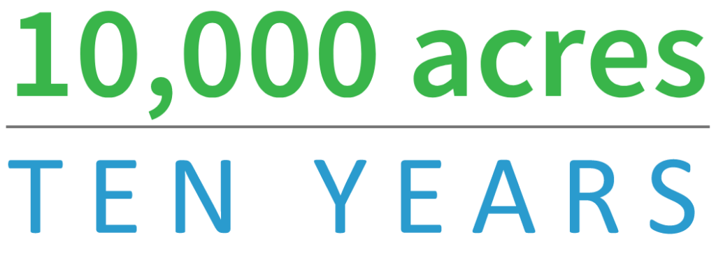
Winnakee’s commitment to protect
and restore 10,000 intact forest acres
in the next ten years by 2032.
FOCUS AREAS
INTACT FORESTS
Conserving Hudson Valley forests is vital for the essential ecosystem benefits they provide for the survival of all life. Core forests – defined as interior forest areas surrounded by at least a 100-meter-wide buffer of edge forest habitat – are especially important for sensitive wildlife. The fragmentation of large forests by new roads and development eliminates core forest and is a leading driver of biodiversity loss as well as harmful increases in invasive species and tick populations.
Winnakee’s conservation strategy is to protect 10,000 acres of core forests, that are at least 500 acres in size each, in the next ten years. Areas of this expanse best provide sufficient habitat for a diversity of interior forest species and conserve the integrity of ecologically significant forest patches.
HIGH-QUALITY STREAMS & WETLANDS
Lands bordering the region’s streams and wetlands play an important role in maintaining water quality and clean drinking water. Winnakee has identified several of the region’s most significant watercourses and made them a focus of our protection efforts. Our forests play a vital role in capturing, filtering, and supplying cool, clean water throughout the year. Conservation that protects and enhances high water quality also supports ecologically sensitive plants and animal whose population decline.
IMPORTANT AREAS FOR RARE PLANTS AND ANIMALS
Important Areas include the specific locations where rare animals and/or rare plants have been observed, as well as additional habitat needed to support those populations. The New York Natural Heritage Program (NYNHP) program has identified these areas of importance to help sustain these at-risk populations, and the ecological processes critical to maintaining the habitats of these rare animal and plant populations.
SIGNIFICANT NATURAL COMMUNITIES
Significant natural communities provide habitat for rare plants and animals, support intact ecological processes, and contribute other ecosystem benefits. They are considered significant from a statewide perspective because they are rare or high-quality assemblages of interacting plant and animal populations that share a common environment. Natural communities in this data set include wetlands, forests, grasslands, streams, and other types of habitats, as well as ecosystems and natural areas.
Geographic Focus Areas
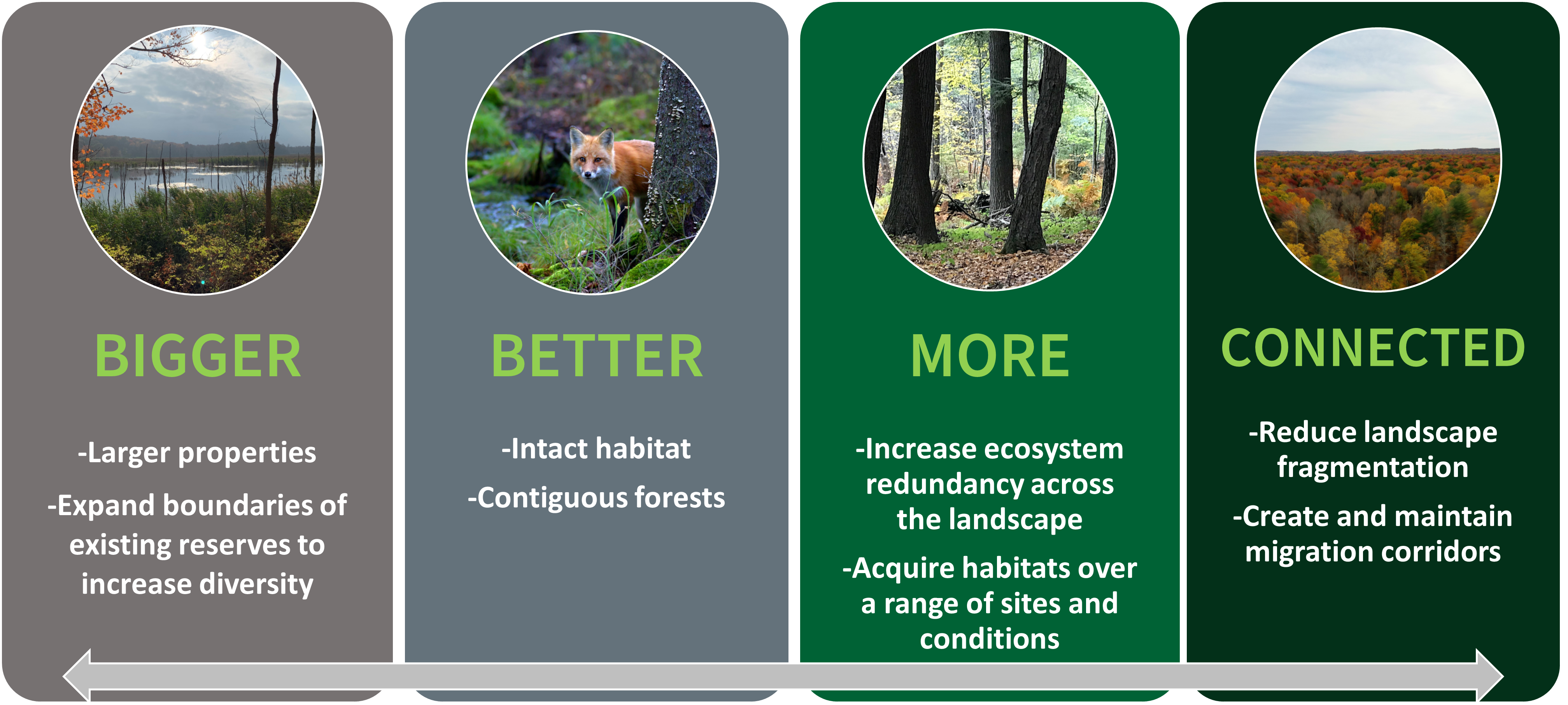
The creation of forest matrices along connective corridors enhances biodiversity, wildlife habitat, climate adaptation and our cultural connections to a landscape with a rich heritage. Winnakee is currently acting on a regional scale to keep at risk forests on the precipice of generational change intact.
Our efforts are guided by public conservation plans such as New York State’s Open Space Plan, New York Forest Resource Assessment and Strategy as well as regional conservation plans, and through partnerships such as The Nature Conservancy, Follow the Forest and the Stay Connected Initiative.
Berkshire Wildlife Linkage
The majority of Winnakee’s current property holdings fall into this vital linkage area, which covers roughly 2.4 million acres of an estimated 75% forest cover. It is the most intact forest ecosystem in southern New York and New England. Winnakee and other partner groups in the Greens to Hudson linkage are working to permanently protect additional intact parcels, and maintain and restore connectivity, which allows migration for a range of native species, including otter, porcupine, foxes, and larger mammals such as moose, bear and bobcat. The linkage is recognized for its biodiversity, supporting rare species, intact habitat, and exemplary natural communities.
Hudson Highlands and Harlem Valley
This ecologically significant region is a Winnakee priority protection area in part because of a NY Natural Heritage Program study in 2013 that identified its resilience to present-day and future effects of climate change. The study modeled 26 at-risk species with recommended places within the Hudson Valley where conservation organizations can make their strongest investments for protection of biodiversity. In these areas, focused attention on maintaining and restoring habitats of rare species was predicted to have the best outcome for their survival because of the ecological assets within them were strongest to withstand the effects of climate change.
Winnakee’s Conservation Map*
You can browse our properties using this map. Hover over an icon for a detailed description to pop up. Public hiking trails (orange pins) typically have parking areas and mapped trails. More detailed information is also available on our Parks and Preserves page.
